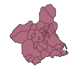
Cartagena beaches: Playa del Barco Perdido (Zeus) La Manga del Mar Menor
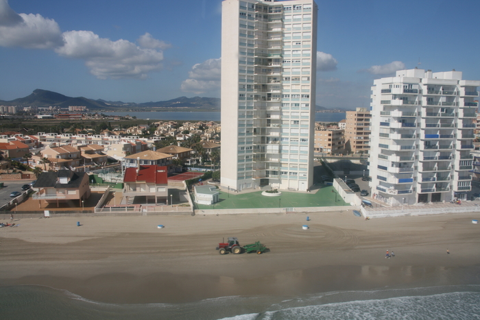
This vast 1800 metre long sandy beach is the third in a run of the three Barco Perdido beaches
The Playa del Barco Perdido lies in the southernmost stretch of sand on the Mediterranean shore of La Manga del Mar Menor, and is one of the most emblematic beaches in this part of the Costa Cálida.
The beach falls within the jurisdiction of the Cartagena municipality and is so long that it is divided into three different sections (Entremares, Sirenas and Zeus), and this is the northernmost of the three. It is 1800 metres long and an average of 30 metres wide and runs down to the border with the Gola de Marchamalo, the southernmost of the channels which permit the passage of water between the Mar Menor and the Mediterranean.
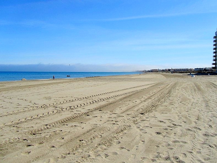
This huge stretch of beaches is the first reached on the Mediterranean coast of La Manga from the mainland and is extremely popular, lined with high-rise apartment buildings and low-rise development throughout its length. Logically, during the summer this beach is busy and buzzing with high density occupation.
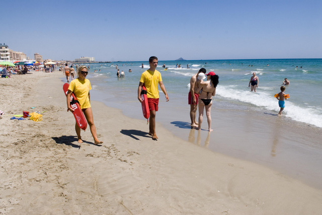
As a result, it is very well serviced and has been awarded a Q for Quality award in recognition for the services on offer. In total there are three lots of lifeguards spread across the three beaches, and three different Protection Civil points offering medical assistance and bathing assistance for the disabled.
Facilities on the sand include foot showers, a lifeguard and first aid point which is manned in the summer (from mid-June to mid-September), sunbed hire and jetski hire, wooden walkways on the beach, rubbish bins and recycling collection points and play area for children
Disabled bathers are well catered for: there are parking spaces reserved for those of limited mobility and access for these beachgoers is clearly signposted. There is a dedicated disability module on the beach which provides adapted toilets, changing facility and shade, and an amphibious bathing chair is also available for use, with the assistance of volunteers from Protección Civíl.
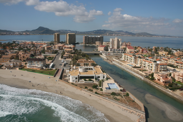
With regards to catering: there is a busy beach bar as well as a variety of restaurants and bars along the seafront and in the busy areas between the shore and the main dual carriageway arterial road which runs along the length of La Manga.
The Zeus stretch of Playa del Barco Perdido is located at km 4.3 of La Manga del Mar Menor, and parking is in the streets amongst the residential accommodation. There is a bus service which runs right along the length of La Manga del Mar Menor throughout the day with several stops giving access to the beach and there is parking for cars in the urban areas which back onto it.
La Manga del Mar Menor and the Mar Menor
The Mar Menor is Europe's largest saltwater lake, although it's often difficult to think of this as a lake as it is fed by the Mediterranean, and is on the Mediterranean coastline. It is a unique geographical feature, and its peculiarities create some of the best conditions in Spain for those learning watersports, particularly windsurfing and sailing.
Murcia is the warmest mainland region in Spain, and has an average temperature of 18 degrees, which makes it perfect for year-round watersports activity and bathers can enjoy the waters of the Mar Menor for most of the year. The water in the Mar Menor is not tidal and has no currents or waves, so is perfect for family bathing or watersport beginners.
It has shallow fringes, which slope gently, and is only 7 metres deep in the centre, so the water temperature is warmer than that of the Mediterranean, particularly around the edges where it is possible to wade out 50 metres from the shore and still only be waist deep.
The La Manga strip offers beaches on both the Mar Menor side and the Mediterranean coast, both presenting totally different bathing conditions and types of beaches.
It is important when selecting a beach to understand that the Mar Menor beaches offer shallow and calm water, whereas the Mediterranean beaches are wider, longer, windier, and are susceptible to wave conditions and currents. It is often possible to cross the road and switch from a Mar Menor beach to a Mediterranean coastal beach as "the strip" is so narrow.
The location of La Manga del Mar Menor beaches is generally defined by kilometre reference. Kilometre 0 is the tourist information point at Cabo de Palos and km 18 is the far end of La Manga by the Esculls de la Llana y Encañizadas, which is where dry land runs out! The remainder of "the strip" is marsh, and inaccessible, before it finally meets the salinas of the San Pedro del Pinatar municipality.
Be aware, a flag warning system operates on Mediterranean beaches: a red flag means bathing is prohibited. In the Cartagena municipality, bathers ignoring red flags will be fined, as the council is unwilling to risk the lives of its beach services personnel in cases such as these.
Click for introduction to the beaches of Cartagena beaches, or for more information about the municipality.
