Find more information by AREA, TOWN or URBANISATION .....
Cabo de Palos
Cartagena
El Carmoli
Islas Menores and Mar de Cristal
La Manga Club
La Manga del Mar Menor
La Puebla
La Torre Golf Resort
La Union
Los Alcazares
Los Belones
Los Nietos
Los Urrutias
Mar Menor Golf Resort
Pilar de la Horadada
Playa Honda / Playa Paraiso
Portman
Roldan and Lo Ferro
San Javier
San Pedro del Pinatar
Santa Rosalia Lake and Life resort
Terrazas de la Torre Golf Resort
Torre Pacheco
Aguilas
Aledo
Alhama de Murcia
Bolnuevo
Camposol
Condado de Alhama
Fuente Alamo
Hacienda del Alamo Golf Resort
Lorca
Mazarron
Puerto de Mazarron
Puerto Lumbreras
Sierra Espuna
Totana
Aledo
Alhama de Murcia
Bolnuevo
Camposol
Condado de Alhama
Fuente Alamo
Hacienda del Alamo Golf Resort
Lorca
Mazarron
Puerto de Mazarron
Puerto Lumbreras
Sierra Espuna
Totana
Abanilla
Abaran
Alcantarilla
Archena
Blanca
Corvera
El Valle Golf Resort
Hacienda Riquelme Golf Resort
Lorqui
Molina de Segura
Mosa Trajectum
Murcia City
Peraleja Golf Resort
Ricote
Sucina
Abaran
Alcantarilla
Archena
Blanca
Corvera
El Valle Golf Resort
Hacienda Riquelme Golf Resort
Lorqui
Molina de Segura
Mosa Trajectum
Murcia City
Peraleja Golf Resort
Ricote
Sucina
Urbanisations
CamposolCondado de Alhama
El Valle Golf Resort
Hacienda del Alamo Golf Resort
Hacienda Riquelme Golf Resort
Islas Menores and Mar de Cristal
La Manga Club
La Torre Golf Resort
Mar Menor Golf Resort
Mazarron Country Club
Mosa Trajectum
Peraleja Golf Resort
Santa Rosalia Lake and Life resort
Terrazas de la Torre Golf Resort
La Zenia
Lomas de Cabo Roig
Important Topics:
CAMPOSOL TODAY Whats OnCartagena SpainCoronavirusCorvera Airport MurciaMurcia Gota Fria 2019Murcia property news generic threadWeekly Bulletin
CAMPOSOL TODAY Whats OnCartagena SpainCoronavirusCorvera Airport MurciaMurcia Gota Fria 2019Murcia property news generic threadWeekly Bulletin


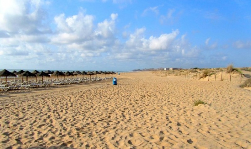
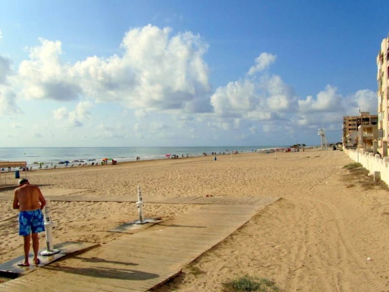 This beach runs for over a kilometre along the southern half of the town centre, and is endowed with numerous facilities and services including access for the disabled. Blue Flag for quality.
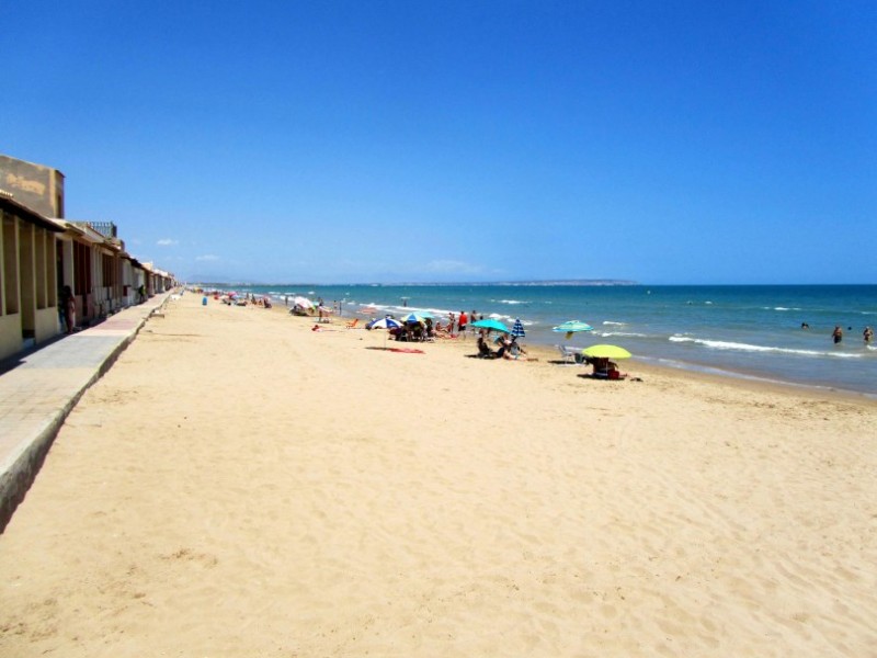 Located alongside the eastern edge of the protected dunes of the Parque Alfonso XIII this beach is flanked by small houses, remnants from the old town. This part of the shore is close to the town centre but, on account of the dunes, has a far less urban feel to it.
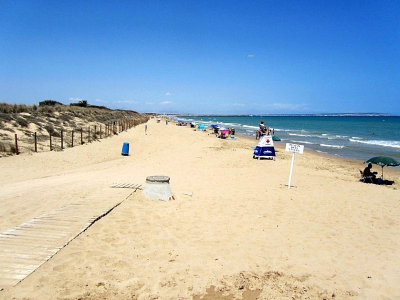 Two kilometres of unspoilt sandy beach immediately to the south of the River Segura, accessed from the Playa de Babilonia, from the marina or via the dunes which lie behind the beach. This is the northernmost beach of the Vega Baja area of the province of Alicante.


